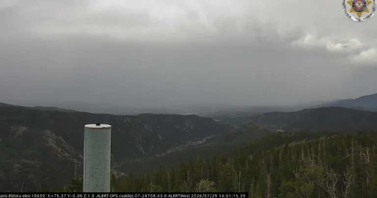

DENVER, CO — Heavy rain, large hail and damaging wind gusts moved across parts of northeastern Colorado on Tuesday as the National Weather Service issued both severe thunderstorm watches and flash flood watches. Much of the I-25 corridor was included in the severe thunderstorm watch through 8 p.m., while a flood watch covered east central and northeast Colorado from 3 p.m. to 10 p.m. Forecasters said storms were producing multiple rounds of warnings as they tracked from the plains into the foothills and mountain areas. By late afternoon, the weather system had already prompted flight disruptions at Denver International Airport and several flood-related road concerns.
Warnings Expand Through The Day
The weather service issued a steady stream of severe thunderstorm warnings beginning early in the afternoon, with alerts stretching from Elbert and Lincoln counties to Pueblo, Washington County, Sterling and areas near Colorado Springs. Many of the warnings carried hail threats ranging from quarter-sized to baseball-sized, along with wind gusts from 50 to 70 mph. Some of the stronger warnings also mentioned a possible tornado or “destructive storm” conditions. The National Weather Service said numerous thunderstorms were ongoing across the plains from Sterling to Fort Morgan to Deer Trail, while scattered showers redeveloped in the high country. Officials also warned that the severe weather threat was expected to continue into Wednesday.
Flash Flood Danger Grows
Flooding became a major concern as several flash flood warnings were issued for communities including Beulah, Rye, Elbert, Cripple Creek, Goldfield, Silver Cliff, Westcliffe, Rosita and parts of Mesa County. One warning covered Pueblo, Pueblo West and Bende, and another included El Paso County. Forecasters told residents in low-lying areas to move to higher ground immediately. The most serious alert was a flash flood emergency for the Aspen Acres Fire burn scar, including Beulah, Greenwood and surrounding areas, where the NWS said runoff, flooding and debris flows were already happening. Officials described the situation as life-threatening and said water rescues and large debris flows had been reported.
Burn Scars Raise Risk
Weather service forecasters singled out Colorado burn scars as especially vulnerable because heavy rain can move quickly across fire-damaged ground. The Aspen Acres Fire area was listed as having an elevated flood risk for Tuesday and Wednesday, and the NWS said thunderstorms over that burn scar were producing heavy rain over most of the area. In the emergency bulletin, forecasters said flooding and debris flows would likely continue for one to two hours. The Beulah Fire Protection and Ambulance District reported road closures at Highway 78 at the top of Beulah Hill and on North Creek Road just north of Central Avenue because of water and debris on the roadway. Officials said no evacuations were in place at that time.
Airport And Travel Impacts
The storms also disrupted air travel in Denver. FlightAware showed a ground stop at Denver International Airport beginning at 3:07 p.m. and later extended to 5 p.m., meaning arriving flights could not depart their origin cities until the stop was lifted. Delays and cancellations climbed as the afternoon went on, reaching 28 cancellations and 625 delays by 3 p.m., then 32 cancellations and 756 delays by 4 p.m., and 34 cancellations and 811 delays by 5 p.m. The weather service said the greatest flash flood risk remained east of the I-25 corridor, where stronger storms could produce torrential rainfall of two or more inches in just 30 to 45 minutes. The agency said similar conditions were likely again Wednesday.