
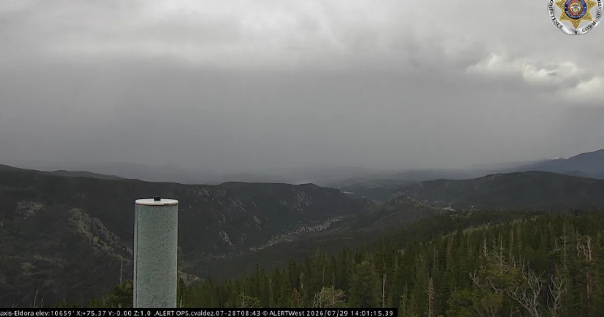
DENVER, CO — Showers and thunderstorms moved across Colorado on Wednesday, bringing localized flash flooding to burn scars and areas along and east of the southern I-25 corridor. The National Weather Service in Boulder said numerous storms were expected through the day, with the strongest cells capable of producing flash flooding. By late afternoon, warnings and advisories covered several counties as rain, wind and hail affected communities from the plains to the mountains. Officials also reported major travel disruptions at Denver International Airport as the weather system continued to build.
Burn Scars Take Hard Hit
The most serious flooding impacts were reported on burn scar areas, where recent fire damage can make runoff more dangerous. Around 8 p.m., rain on the Aspen Acres burn scar prompted flooding in Beulah, according to the Pueblo County sheriff’s office. Multiple road closures were in place because of mud and debris, and the area was under a flash flood emergency through 10 p.m. Earlier in the evening, Ouray County officials issued evacuation orders after heavy rain on the Gold Mountain Fire burn area caused what the sheriff’s office called intense flooding. The weather service also had a flash flood watch in place for the Aspen Acres Fire burn scar through 9 p.m., citing the likelihood of heavy rainfall over the area.
Warnings Across Several Counties
Flash flood warnings were issued for parts of Chaffee, Fremont, and other counties as storm cells continued to move through the state. At 5:12 p.m., Cotopaxi, Texas Creek and Hillside were under a warning until 8:15 p.m., with the weather service telling residents to move to higher ground immediately. Earlier warnings covered parts of Fremont County until 5:30 p.m. and later until 4:30 p.m., while Victor and Goldfield were also included in a separate warning until 5:30 p.m. Parker and Castle Pines were under a flash flood warning until 6 p.m. The broader storm pattern kept expanding eastward, raising concern for quick flooding in low-lying and burn-scar-prone areas.
Wind And Hail Reports
Not all of the hazards were tied to flooding. Severe thunderstorm warnings were issued for Wiggins and nearby areas until 5 p.m., with forecasters warning of winds up to 60 mph and pea-sized hail. Another severe thunderstorm warning covered Strasburg, Bennett and Byers until 4:15 p.m., also with 60 mph wind gusts and pea-sized hail possible. Special weather statements were posted for Aurora, Watkins and Denver International Airport, where winds up to 50 mph and half-inch hail were possible through midafternoon. A separate statement covered Centennial, Castle Rock and Parker with wind and penny-sized hail concerns. The storms created a fast-changing weather day for communities on both the plains and the Front Range.
Airport Delays Mount
Weather also caused major problems at Denver International Airport. At 3 p.m., FlightAware showed 17 cancellations and 589 delays, and those numbers climbed later in the afternoon to 19 cancellations and 696 delays by 4 p.m. A ground stop was issued at DIA at 4:03 p.m. and remained in effect until 5 p.m., meaning arriving flights bound for Denver could not leave their origin airports until the restriction was lifted. By 5 p.m., the airport had 27 cancellations and 795 delays, according to FlightAware. The disruption showed how quickly the storm system spread beyond local flooding concerns and into regional transportation impacts.